You're being warned about possible flooding and high water levels in the region
The Upper Thames River Conservation Authority says local streams and rivers are continuing to rise and are expected to remain high through the weekend and into early next week, with water spilling into low-lying floodplain areas that typically flood in spring.
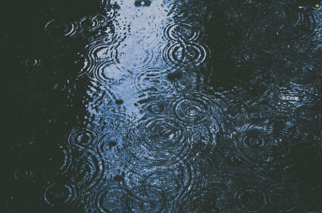
Above-freezing temperatures and rainfall have begun melting the snowpack across the watershed. About 10 millimetres of rain has fallen so far, with an additional five to 15 millimetres forecast before cooler temperatures return Sunday.
Daytime highs have climbed above 0 C but remained below 6 C, with overnight temperatures dropping back to freezing or below. These fluctuating conditions are expected to further erode the snowpack and push water levels higher.
A snow survey conducted Tuesday found an average of 65 millimetres of snow-water equivalent across the watershed, with higher amounts north of Highway 7. Some snowpack is expected to remain after the current warming trend.
The conservation authority is urging residents to exercise extreme caution around streams, rivers, ditches and ponds. Officials warn that stream banks may be slippery and unstable, water is cold and fast-moving, and ice cover is weakened. Ice on flood control reservoirs is especially hazardous due to fluctuating water levels.
Residents are advised to stay out of flooded areas, avoid driving through flooded roadways and keep children and pets away from watercourses. The authority is operating flood control reservoirs at Fanshawe, Wildwood and Pittock conservation areas to help reduce downstream flooding.